
The 5 Best Yard Mapping Tools 2025, Tested and Reviewed
September 11, 2025
Introduction
The most important decision you’ll make when choosing a yard mapping tool is whether you need a basic layout app or a complete yard management platform. From there, you’ll want to consider features like ease of use, precision, cost, and whether the tool integrates with smart yard technology.
To help you find the best option, we tested five of the most talked about yard mapping tools of 2025, ranging from free DIY solutions to advanced property management platforms. Our team reviewed each app and software using a variety of properties, from small residential yards to larger multi-acre spaces.
We found that some tools are excellent for quick layouts, while others shine when it comes to managing irrigation systems or professional landscaping projects. One platform stood out as the best overall because it combines mapping, task management, and smart technology into a single package.
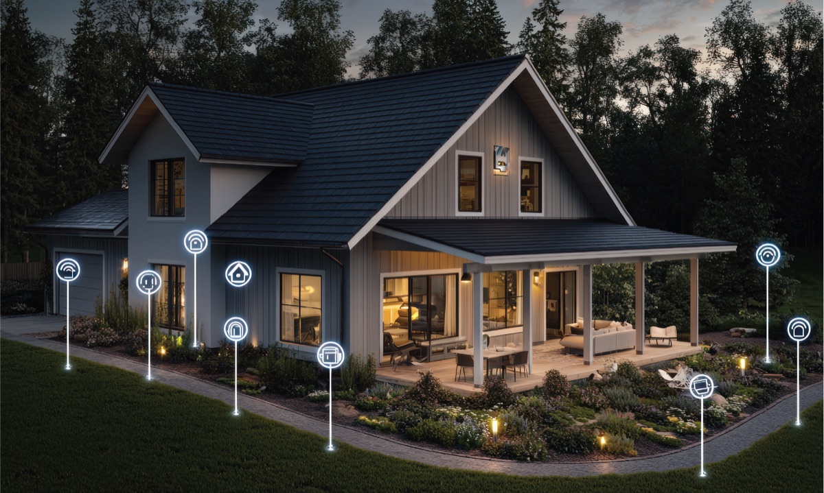
Best Overall App: YardPro
YardPro is the most advanced yard mapping tool available in 2025. Unlike general mapping platforms, it was built specifically for landscaping and property management. With YardPro, you can map your entire yard, mark utilities and irrigation lines, assign tasks, and even integrate with smart sensors that alert you to leaks or pressure drops.
Highlights:
• Precise property mapping with customizable icons
• Mobile and web apps for easy access anywhere
• Task management and collaboration tools for homeowners and crews
• Smart sensor integration for real time system monitoring
Pros: Free starter version, easy to use, intuitive mapping tools, full property visualization with markers, collaborators, smart sensors
Cons: Subscription required for full features
Best for Outdoor Enthusiasts: OnX Maps
OnX Maps started as an app for hunters and hikers but has been adapted by some property owners. Its GPS accuracy is excellent, but it lacks the landscaping-specific features that homeowners and contractors often need.
Pros: Simple, reliable, and accurate GPS mapping
Cons: Subscription required for full features, no irrigation or task management features
Best Free Tool: Google Maps with Custom Pins
Google Maps offers the most accessible entry point for mapping your property. By dropping pins and drawing shapes, you can get a rough outline of zones and boundaries. However, it does not provide the precision or landscaping features required for more complex yards.
Pros: Free, familiar, widely available
Cons: Limited detail, no additional functions, no smart yard integration
Best for Large Scale Projects: ESRI ArcGIS
ArcGIS is a professional-grade geographic information system. Municipalities and engineering firms use it for highly detailed mapping projects. While it is powerful, its complexity and cost make it impractical for the average homeowner or landscaping crew.
Pros: Extremely detailed, professional tools
Cons: Expensive, steep learning curve, overkill for residential yards
Best for Irrigation Specialists: Uinta
Juniper Systems’ Uinta is a mapping and data-collection tool that supports professional irrigation layout workflows among broader mapping features. Contractors working on sprinklers, drip systems, and water audits will find it helpful for capturing field data, designing as-builts, and exporting reports.
Pros: Customizable project templates, export options, works offline
Cons: Specialized only on mapping, expensive
Conclusion
Yard mapping technology in 2025 offers something for everyone, from simple free apps to advanced professional systems. For quick sketches, Google Maps works fine. For irrigation contractors, Uinta is effective.
But for homeowners, landscapers, and property managers looking for the best overall solution, YardPro is in a league of its own. Its combination of precision mapping, collaboration tools, and smart technology integration makes it the clear winner for 2025.